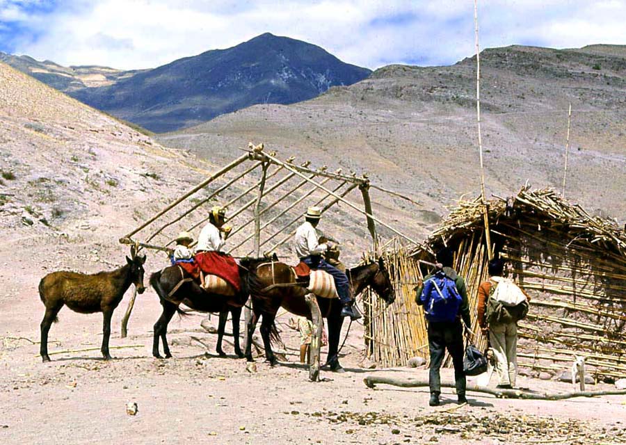
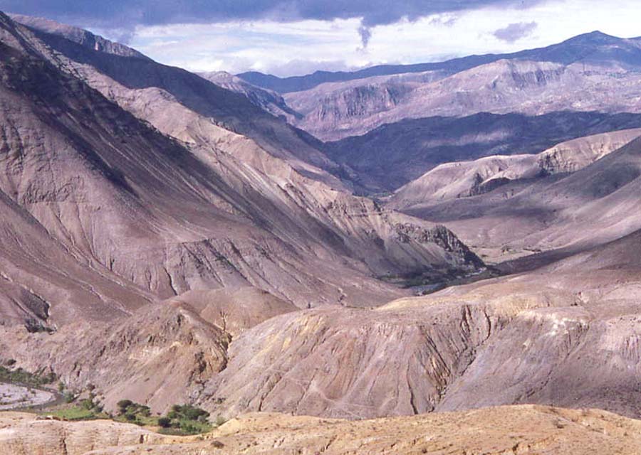
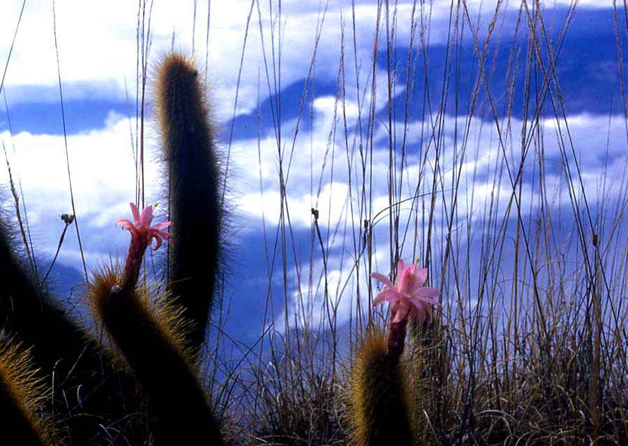
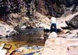
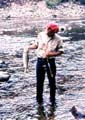
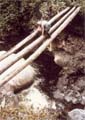
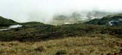
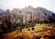
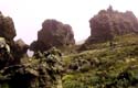
PAISAJES DE LA REGIÓN DE SARAGURO / LANDSCAPES OF THE SARAGURO REGION

Hacer click en las fotos para ver imágines mucho más amplias

Click on the photos to view much larger images

© 2003 Jim Belote and Linda Belote
(under construction January 2003)


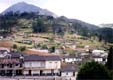
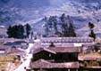
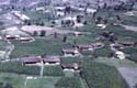
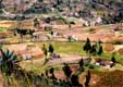
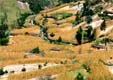
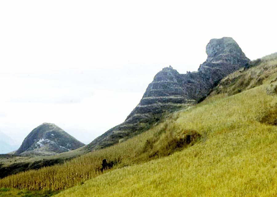
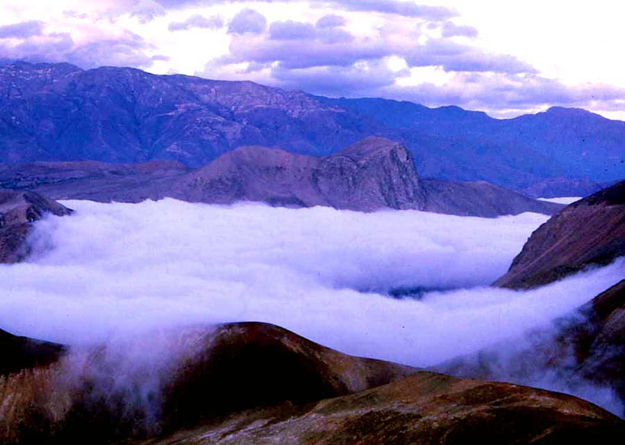
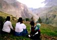
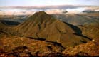
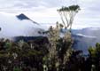
El Cerro Puglla, en el corazón de la región de Saraguro / Mt. Puglla, in the heart of the Saraguro region

 Puglla from Carboncillo 67k    Puglla from Cubilan 71   Santa Cruz en Puglla 121k   Puglla seen from Acacana  91k  Puglla and Quisquinchir 75k  


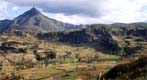
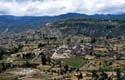
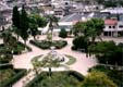
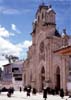
La ciudad de Saraguro / The city of Saraguro

 Puglla seen from Saraguro 125k   Saraguro 1962 110k   Saraguro park 1962 139k   The town of Saraguro 101k   Saraguro park 144k  Saraguro church 1990s 86k


Las comunidades indígenas y sus alrededores / Indigenous communities and their surroundings

The community of Lagunas  137k   Tuncarta 1981 183k   Tenta area 1981 196k   Yucucapa 1981 195k   Oval house in Gera 1960s  114k   Las Lagunas house 1960s  119  Sinincapac cave and waterfall  108k

La zona seca y caliente de la cuenca de los ríos Jubones y León en el oeste del Cantón Saraguro / The dry, hot zone in western Cantón Saraguro

 Travelers in the Jubones valley  144k   The Rio Leon 95k  Mochata  61k  Jubones valley seen from Mochata  102k  Clouds in the Jubones valley  62k

El Rio Paquishapa al norte de Saraguro / The Paquishapa River to the north of Saraguro

 Virgencaca falls 90k   Virgencaca fishing 186k    Waterfall on the Paquishapa River 92k   Paquishapa River fishing 125k    Trout from Paquishapa River 1 03k   Crossing Paquishapa River  110k   Paquishapa River canyon  104k

Los páramos en la región de Saraguro / The páramos (high country at or above "timberline") of the Saraguro region

Tres Lagunas 53k   Tamboblanco páramo 49k  Cerro de Arcos 106k   Cerro de Arcos rock formations 92k  


Saraguro Homepage http://www.saraguro.org